Wildfire Threat

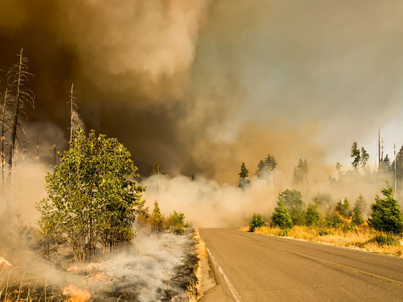
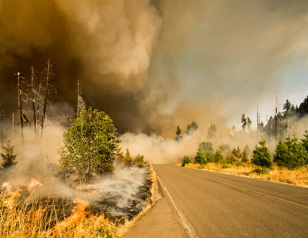
Could 2020 get anymore overwhelming? Here in Portland, there are wildfires to north, the east, the south, and the west. Many of our families are facing evacuation and trying to come to terms with the possibility of losing their homes at a time when home has been even more of a bastion of safety than usual. Here’s what you need to know:
Right up top, if any kids in your family are vulnerable to respiratory concerns – asthma, active respiratory illness, cystic fibrosis, etc – make sure they have adequate medication and supplies. Did you lose that spacer? Albuterol inhaler is expired? Don’t have a spare set of nebulizer tubing? CALL US for a refill prescription. These are life saving medications and equipment, you may be needing them.
WHAT NOT TO DO
All State/Ferderal/Bureau of Land Management land is closed. No hiking, camping, visiting, and especially no recreational fires. No recreational fires ANYWHERE.
Avoid travelling if you can. There are a lot of folks needing to travel and there are a lot of road closures. For the next couple days, staying off the roads whenever possible helps ensure people who need to get out are able to safely and quickly.
Avoid yardwork and outdoor BBQs. Everything is super dry. We’re seeing fires started by electric landscaping equipment that overheated. In this environment, a small oversight becomes a large fire.
Do not smoke outside. Not smoking at all is the best precaution, but if that’s just not an option, Portland Fire and Rescue is asking you to take it inside and be extra careful about ensuring nothing is smoldering before you walk away.
Do not light any incendiaries. By now, you may have heard that one of the largest fires in California’s history was started by a gender reveal party device. Maybe it’s super small – you just want to light one candle. House and residential fires are dotting the city RIGHT NOW. Let’s just be super careful for next few days and try to spare our strained Fire Departments any way we can.
WHO IS IN DANGER
Here is a complete view of all the evacuation zones in Oregon. The entire Western half of Oregon is under a heat and wind advisory (the pink), evacuations are Level 1 (Green), Level 2 (Yellow), and Level 3 (Red).
Level 1 Get Ready: Pack. Identify those things you most want to save and necessities. Make a plan for where you will go. Can you take your animals? Who could take your animals? How will you pick up your kids? Who could help you gather your things? Ensure you have all medications.
Level 2 Get Set: Often this level is assigned when emergency responders are actively ensuring the roads are clear enough to get people out fast and efficiently. The Level 3 alert is on it’s way, make sure your car is packed and you can start the engine as soon as evacuation is ordered.
Level 3 Go: Go now. Do not wait. Crews may be fighting hard to keep that road open long enough for you to get out. Fire may be minutes away. Get out now.
WHERE TO FIND INFORMATION
This is the single best resource. If you are in Washington, it’s got you covered too. From this one link, you can:
- Sign up for PublicAlerts and be notified when new evacuation orders come out or air quality alerts are issued
- Find updates about what’s happening in your’s or your loved ones’ neighborhoods
- Find preparation tips like what to pack and what to expect if your area is evacuated
- Learn how to protect yourself from poor air quality and monitor the current air quality
- How to protect your property
CDC’s Information for Disaster Evacuees and Other Affected Persons Find information on:
- How to Prepare for Evacuation
- Resources for During Active Evacuation
- Returning from Evacuation and picking up the pieces
Road Closures: for Oregon TripCheck.com is up to date, for Washington go to wsdot.wa.gov
Check road statuses prior to departure.
At the bottom of the article, you can find a list by county of where to find county specific alerts and information.
WHERE TO GO
If you are in an evacuation zone, here is a list of temporary shelters.
Additionally, the Red Cross has set up temporary evacuation shelters at the following locations:
- Thurston High School – 333 58th Street, Springfield, OR
- Deschutes County Fairgrounds – 3800 SW Airport Way, Redmond, OR
- Oregon State Fairgrounds – 2330 17th Street NE, Salem, OR
- Glide Middle School – 18990 N. Umpqua Hwy., Glide, OR
- Kla-Mo-Ya Casino – 34333 US-97, Chiloquin, OR
- Clackamas County Community College – 196600 Molalla Ave., Oregon City, OR
- Sandy High School – 37400 Bell Street, Sandy, OR
- Neil Armstrong Middle School – 1777 Mountain View Ln., Forest Grove, OR
County webpages, facebook pages, and twitters are also listing area-specific shelter and check-in sites. Find links to those at the bottom of this article.
HOW TO HELP
If your property is near or has a natural area, create a buffer zone around your house by removing weeds, brush and vegetation.
If you see even a small fire call 9-1-1.
Governor Brown minced no words in a press briefing today; there is going to be a lot of property damage, a lot of suddenly houseless families, and significant loss of life. I’m certain community driven mutual aid networks will be popping up in the next few days, but here are some heavy hitters:
Red Cross Cascades Our very own chapter of the Red Cross. Donate blood or money, or both. Both are needed and the Red Cross will make those dollars work.
Oregon Voluntary Organizations Active in Disaster Find out about the organization by clicking the name or go straight to volunteering or donating supplies by clicking here and registering. This is essentially a huge mutual aid organization, connecting people with needs with people who can fill them.
Reach out to folks in your circle of people who live near the danger zones. This is a frightening time and many people in crisis situations just try to push through. Give your community of people additional options, whether it’s a place to stay, being willing to come fill up another car with personal belongings, or to not have to worry about packing food, toiletries, and masks.
It’s getting harder by the minute to stay safe out here in the world. Our hearts are with you.
INFORMATION BY COUNTY
Clackamas County
Columbia County:
Cowlitz County
Douglas County
Jackson County
updates and map of evacuation zones
Lane County
evacuation zones
Lincoln County
Marion County
sign up for alerts
Multnomah County
there are NO evacuation orders for Multnomah County
Tillamook County
Washington County
As far as I can tell, Washington County does not appear to have a precise map of evacuation zones, so here is a list of all the Level 3 Evacuation sites as of the evening of 9/9/20.
- Cherry Grove
- SW Weaver Drive
- SW Wildfire Drive
- NE Brooks Lane
- NE Jaquith Lane
- NE Ellis Lane
- NE Mountain Top Road
- NE Bald Peak Road
- NE McCormick Road
- NE Bryan Creek
- NE Quarter Mile Lane
- NE Chehalem Drive
- NE Hillside Drive
- SW Buckhaven Road north to SW McCormick Hill Road up to Vanderschuere Road
- East of SW Neugebauer Road to Hwy 219 between SW Jaquith Rd to SW Vanderschuere Rd
- SW Herd Lane
- SW Hideaway Lane
- SW Forest Park Road
- SW Strawberry Hill Drive
- SW Fernhollow
- SW Bryanna Court
- SW Wildhaven Lane
Yamhill County
Thank you KOIN 6 for the comprehensive list of update and alert sites for each county.

